A Walk through the Malpais de Güímar
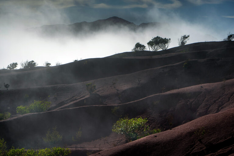
Tenerife isn’t a massive island, so the sheer diversity of landscapes it contains is impressive, from lava-strewn volcanic wastelands, to ancient laurel forests teeming with life. During a drive along the southern coast, we stopped to explore an area that has nothing to do with the fabulous beaches the coastline is otherwise known for: the Badlands (Malpais) of Güímar.

We parked in the Puertito (Little Port) of Güímar, then followed a trail into the badlands. This landscape, protected as a natural reserve since 1987, was formed by volcanic eruptions some 10,000 years ago. That’s a really long time ago, of course, but quite recent in geological terms.
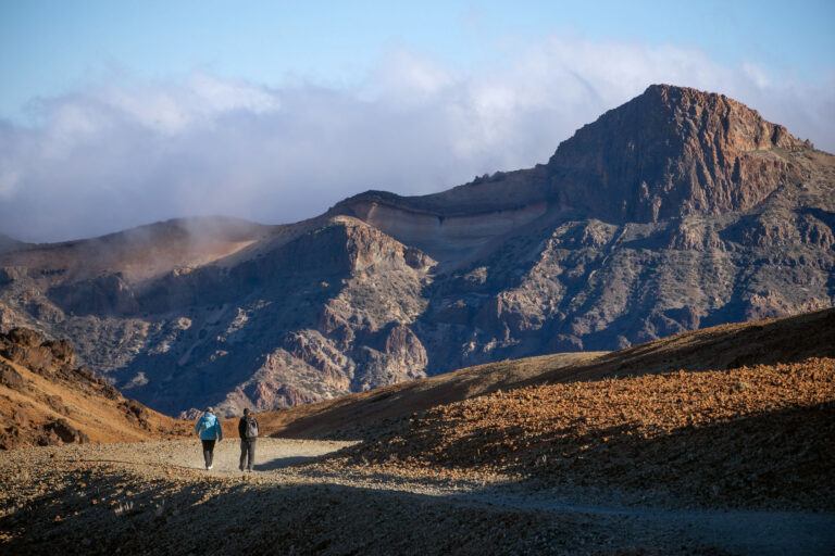
There’s a fairly extensive network of trails snaking through the Malpais. We chose one that hemmed tightly to the coast, bringing us past a couple of beaches which have formed since the explosions. Along the shore, we also encountered a collection of little fisherman shacks, which look as though they’re a natural part of the landscape, and which are still in use. About halfway through the park, we turned inland, toward the Montaña Grande, which reaches the not-so-grande height of 300 meters. Although it’s possible to climb the hill, the sun was fairly brutal today and we stayed at sea level.

This was one of those hikes which doesn’t sound like a lot of fun, but turns out better than expected. Even though the only vegetation was shrubs, and there wasn’t much to see beyond ochre-colored land and dried lava, the uniqueness of the landscape kept us entertained, and the ease of the trail meant that no real effort was involved.


Pingback: Random Hikes Around Las Mercedes - For 91 Days - Tenerife Travel Blog
Pingback: A Concise History of Tenerife - For 91 Days - Tenerife Travel Blog