La Gomera Hike #3: El Alto de Garajonay
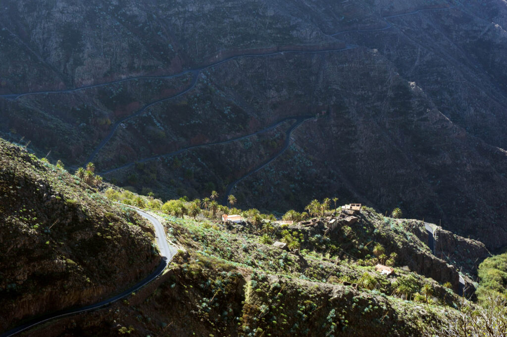
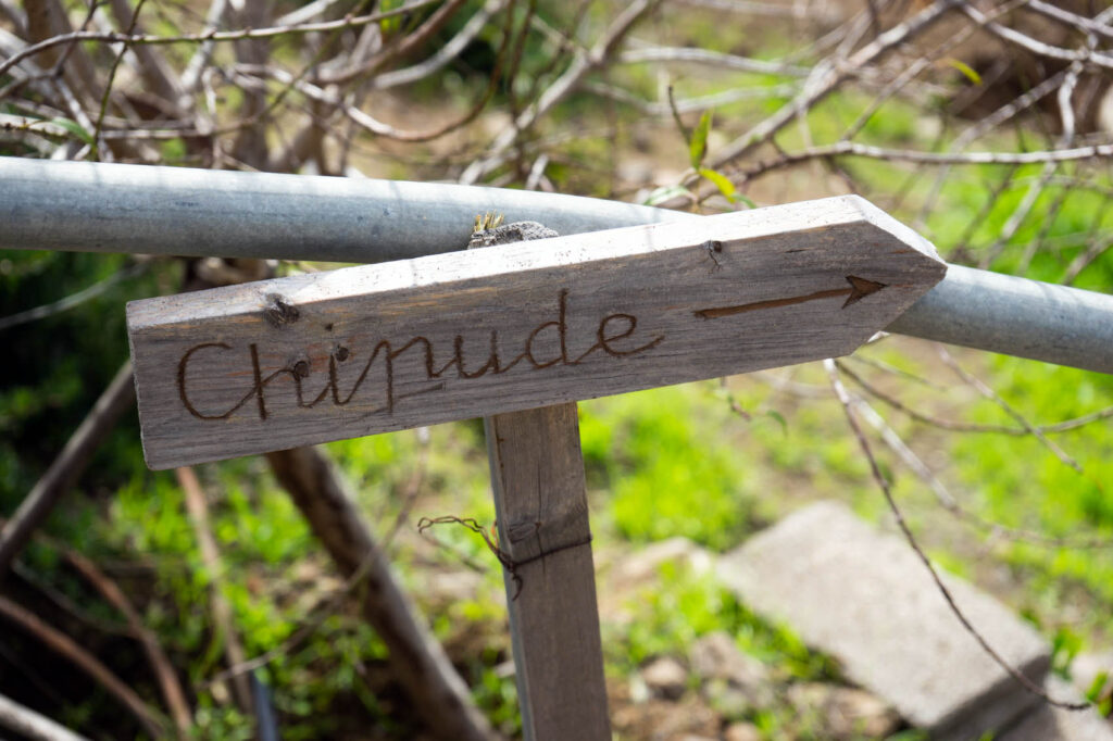
Our third hike in La Gomera would be a circular route starting in the village of Chipude, taking past the viewpoint of Igualero to the top of Garajonay (the highest point on La Gomera), and then back again through the charred remains of a forest devastated by wildfire.

This was our most comfortable hike yet, although it was just as long as the others. Either our bodies were becoming conditioned to the exercise, or our minds had resigned themselves to this new daily exertion. Or maybe it was the brilliant weather; the bright blue skies were perfect for a trip to the island’s highest peak. Whatever the case, we had a really enjoyable day.
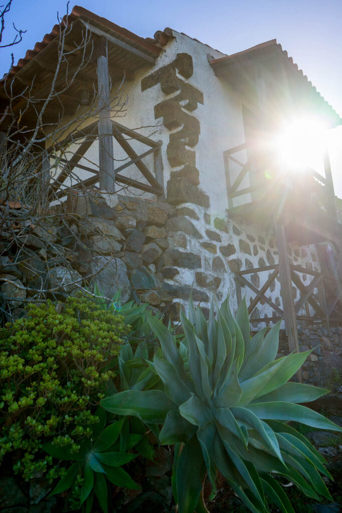
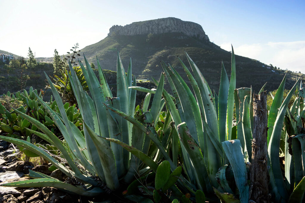
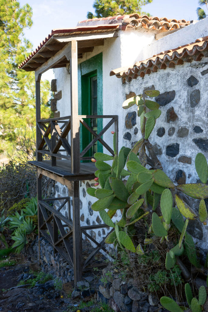
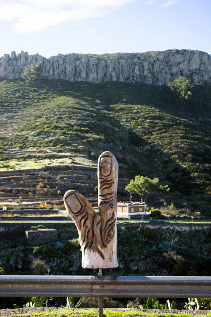
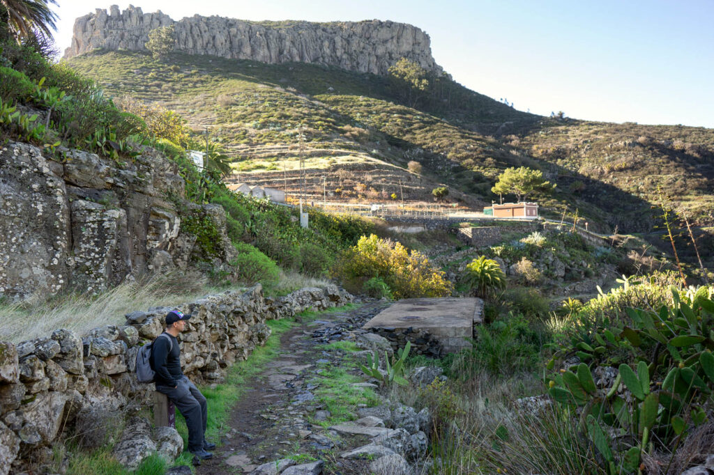
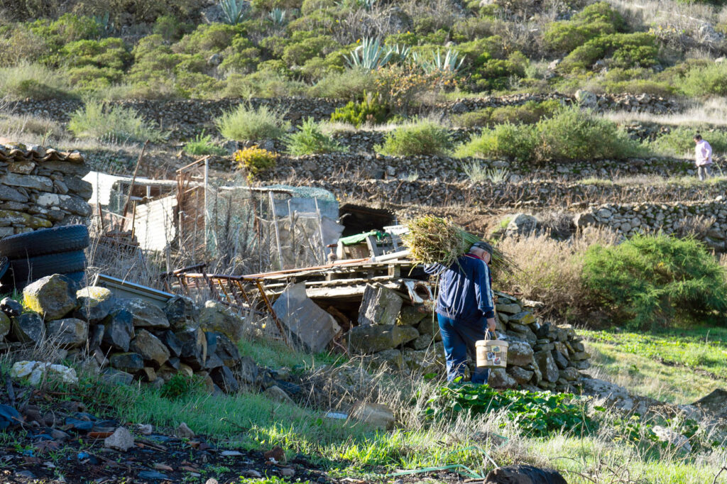
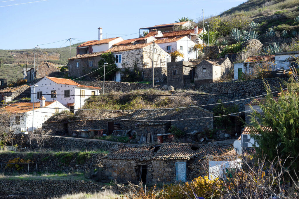
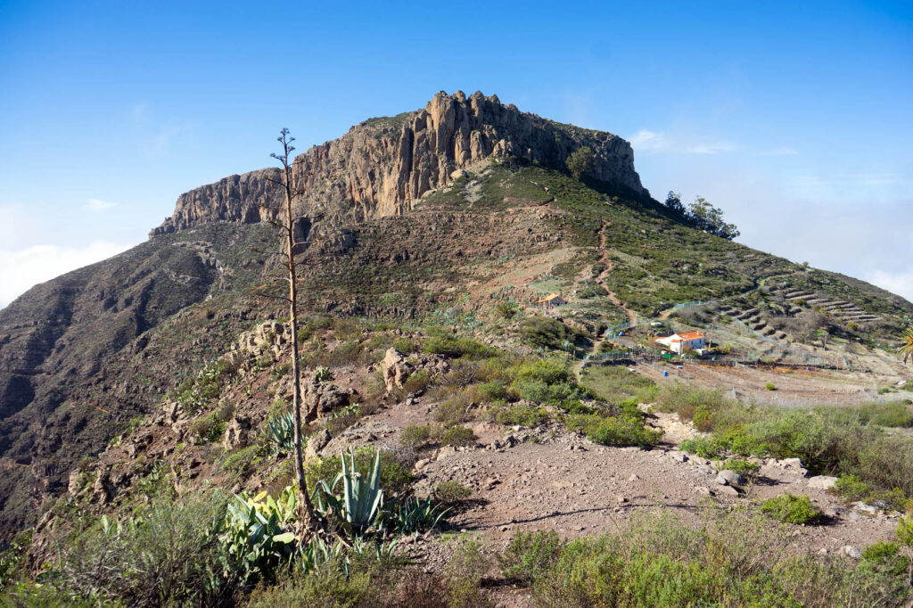
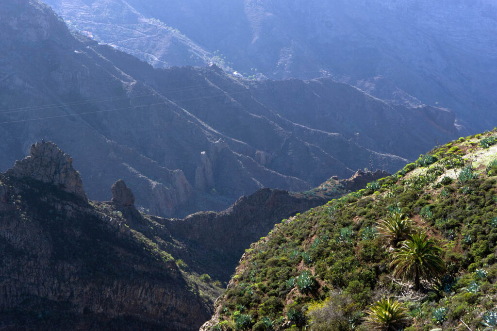
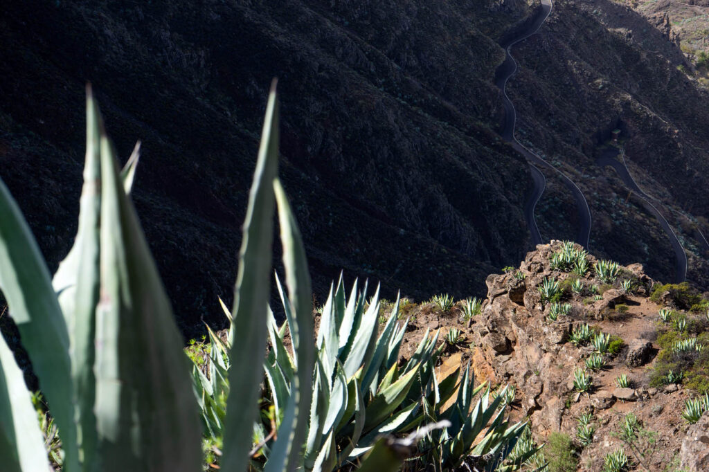
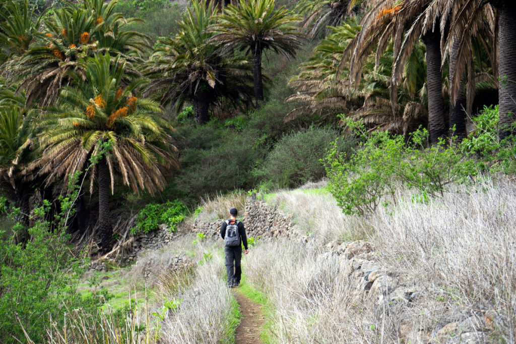
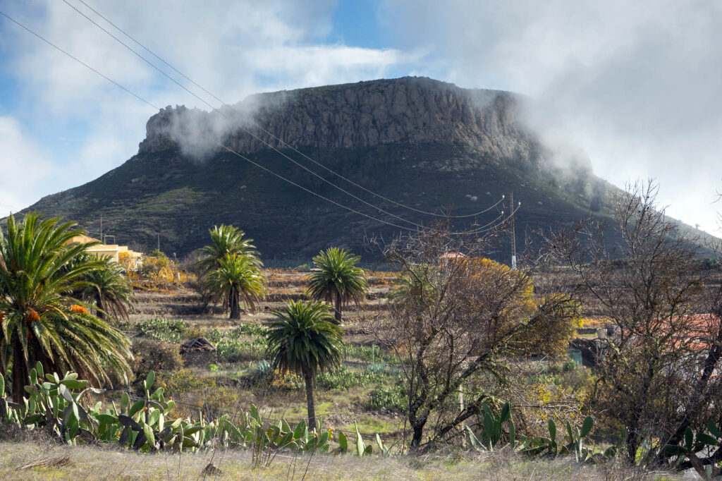
We parked in Chipude, less a village than a smattering of houses high in the hills, and immediately began walking east toward the massive rock called Fortaleza, or “Fortress”. This impressive volcanic formation features a level platform at its summit, and played a big part in the belief system of La Gomera’s original inhabitants, los Guanches, who would scale it to perform religious and sacrificial rites. Even today, you can find the remains of their altars and burial caves on the Fortaleza.
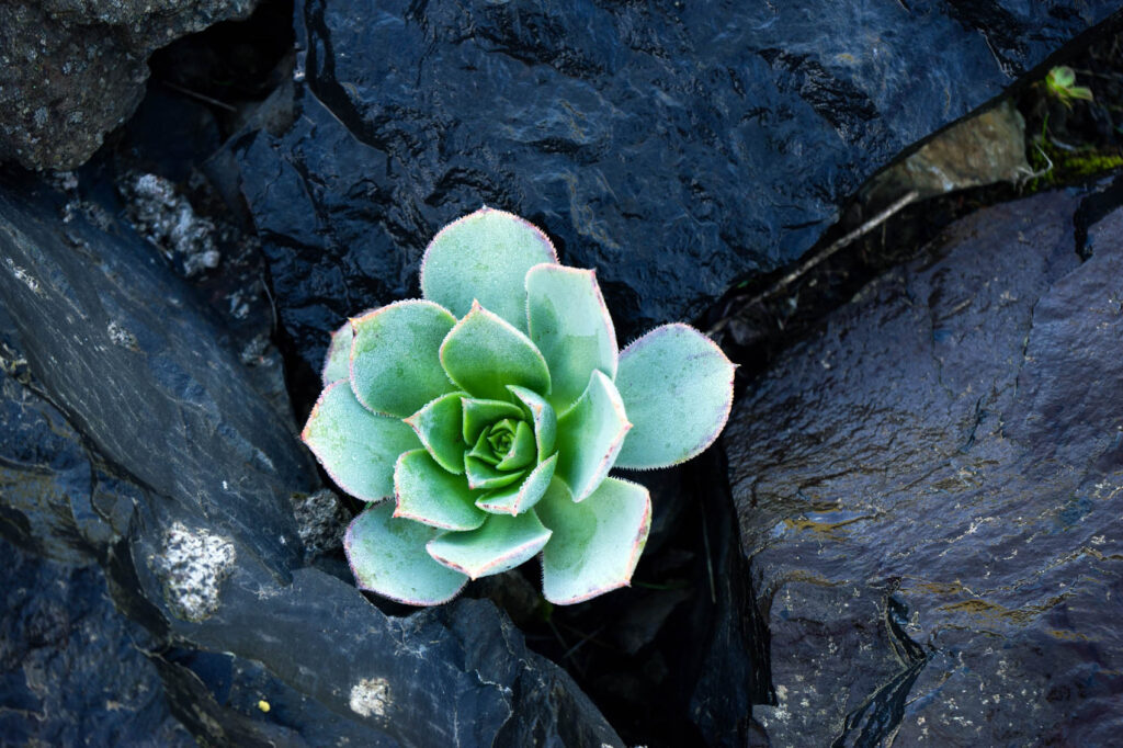
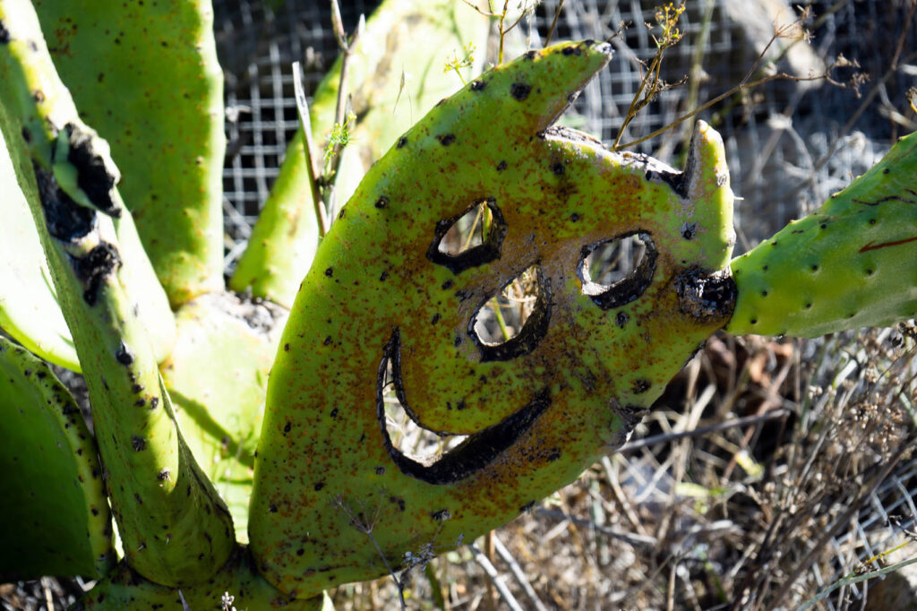
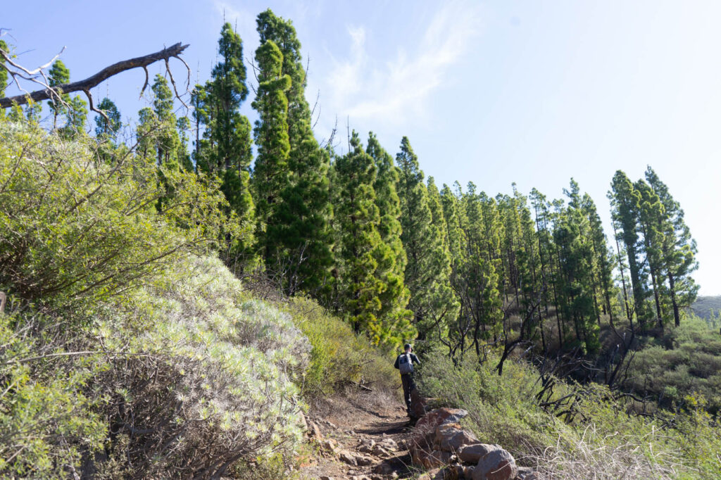
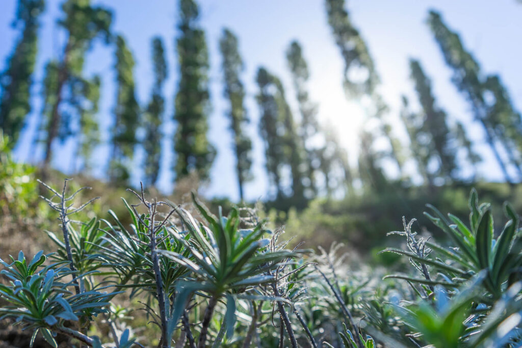
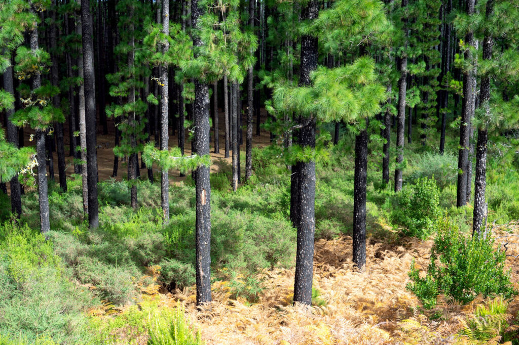
We now ascended steeply into a forest of pine trees, passing a couple loggers but zero other hikers; the solitude has been a surprise highlight of our hikes in La Gomera. Despite the large number of tourists who come here, the sheer variety of paths means that everyone spreads out nicely, and it’s common to go for hours without seeing a soul.
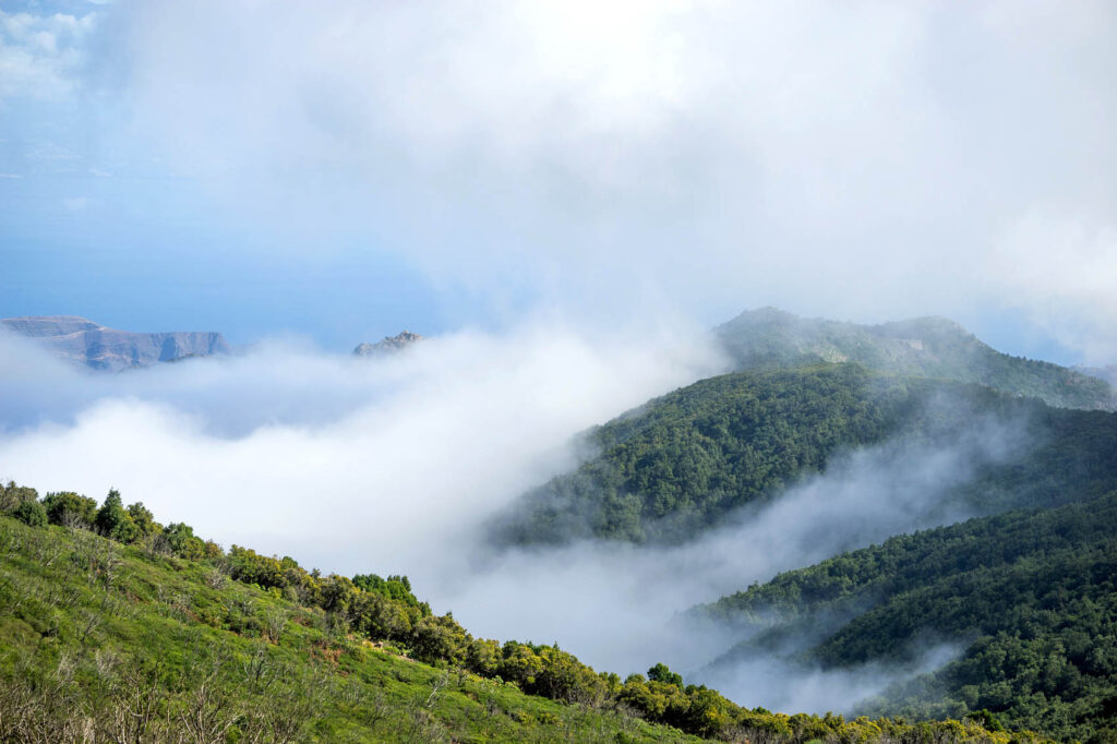
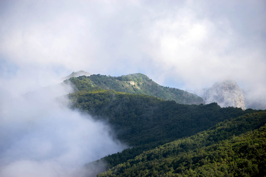
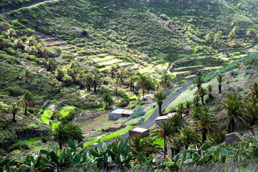
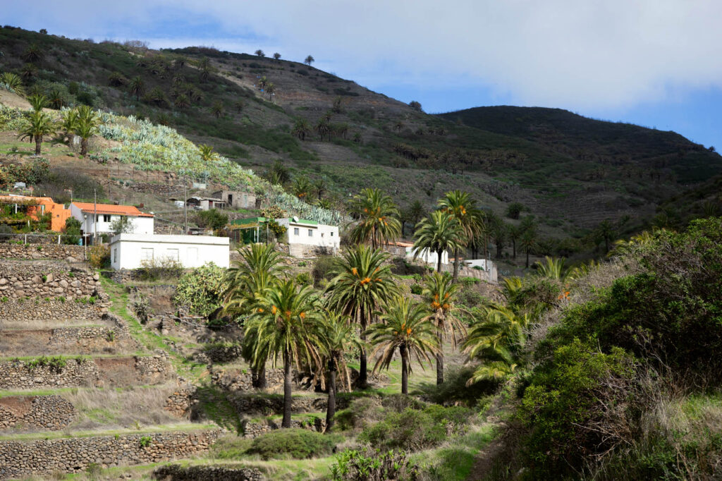
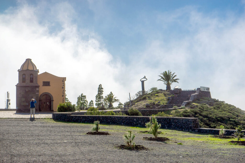
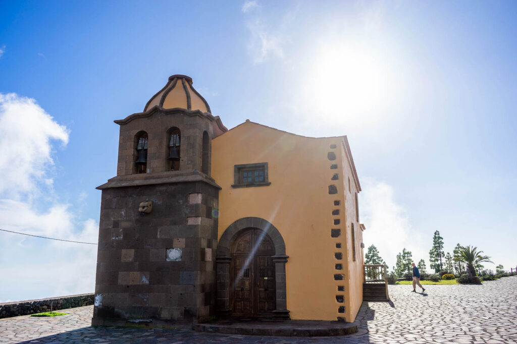
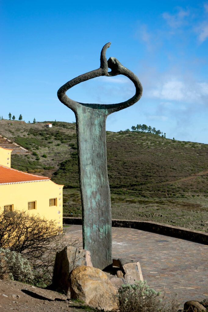
The next landmark on our journey would be the town of Igualero and its excellent mirador (viewpoint), which looks out over the south of the island, and features a monument to the Silbo Gomero.
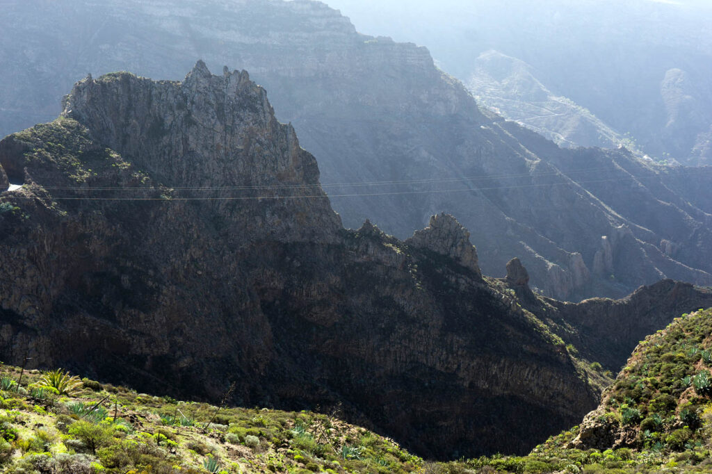
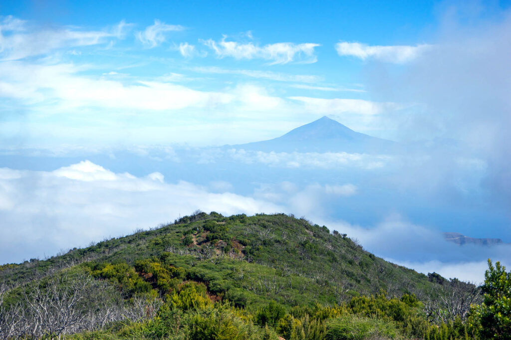
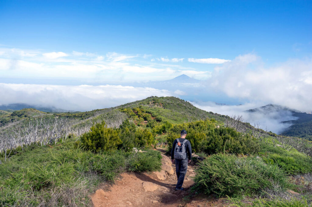
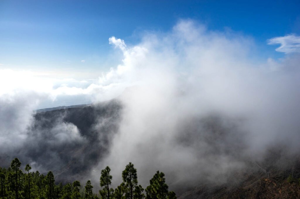
From here, we made our way to Garajonay. The ascent was easy, and we arrived at the circular enclosure marking the summit with no problem. Here, there were plenty of other tourists, though that was hardly surprising, especially on a beautiful day such as this one. We stood next to an ancient stone oval used by the Guanches, dating to the 6th century A.D., and looked out over the sea. In the distance, we could spot El Hierro (smallest of the Canary Islands), Palma, and of course Tenerife, whose mountain El Teide features in so many of La Gomera’s best panoramas.
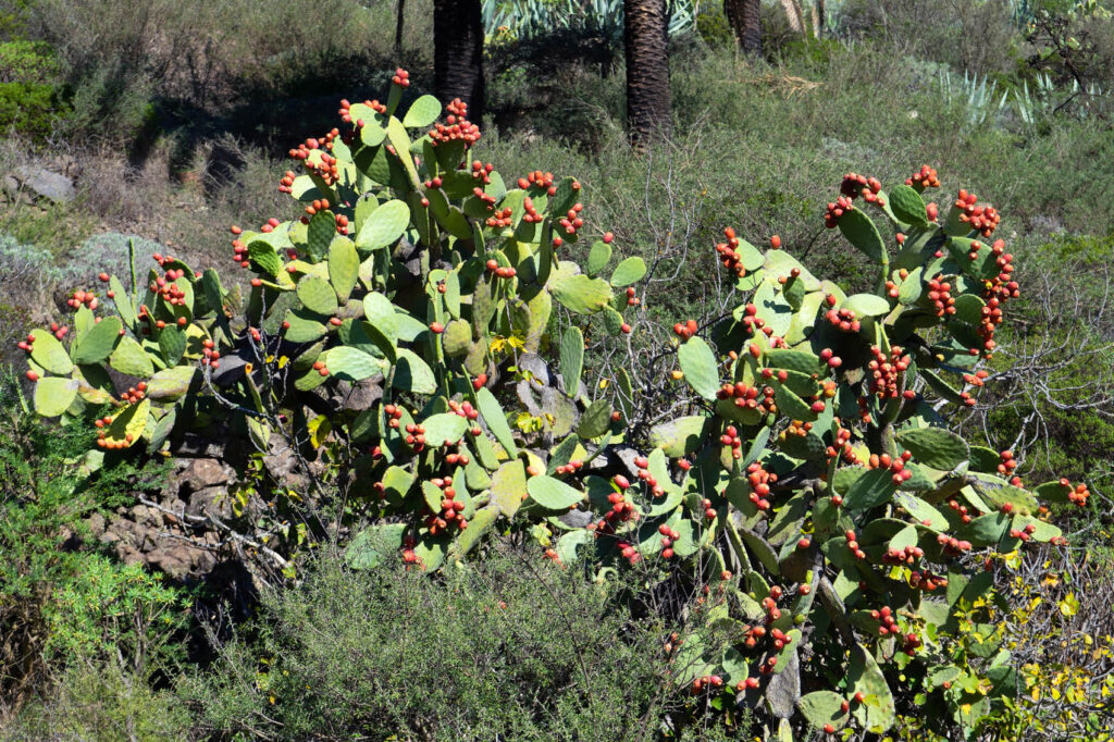
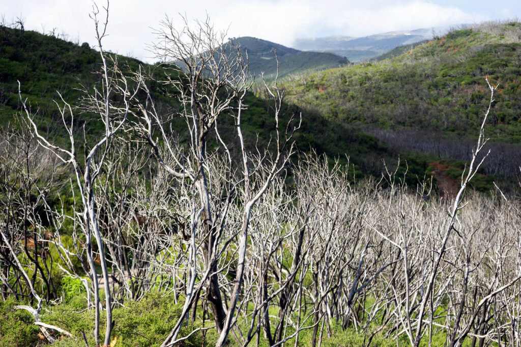
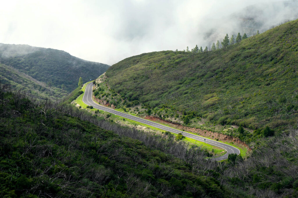
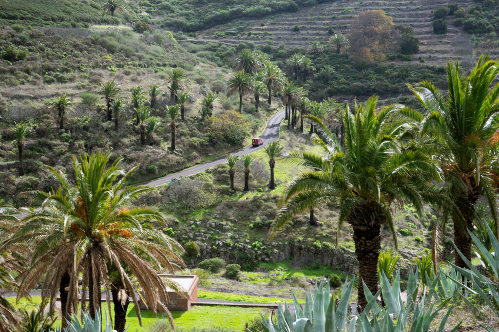
It was an easy, downhill walk back to Chipude. We passed through a forest which was devastated by a tragic fire in 2012. La Gomera is home to some of Europe’s last remaining Laurisilva forests — a type which used to be found across the Mediterranean basin. Seven years on, the forest still hasn’t recovered much; we passed by hundreds of dead trees. Sad as it is, the landscape was beautiful in a haunting, melancholy sort of way.


Pingback: The Guanches of Tenerife - For 91 Days - Tenerife Travel Blog