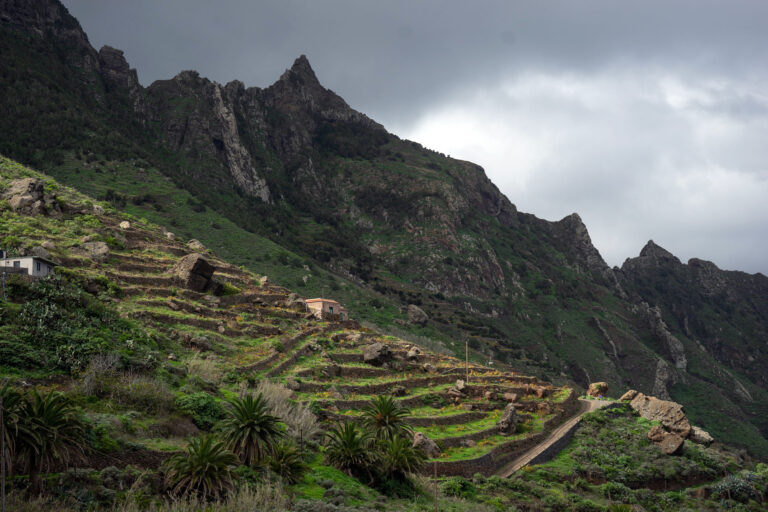
Random Hikes Around Las Mercedes
We enjoyed fantastic hikes all over Tenerife, from the Macizo de Teno in the east, to the Malpais of Güímar in the south, and of course all over the Cañadas of the Teide… but some of our favorite hikes were a bit closer to home. In fact, we just had to step out our door, and walk into the hills that surrounded Las Mercedes, in order to have an awesome day out.

Google Maps might be great for driving directions, but if you’re into hiking, you’ve probably noticed that it’s somewhat lacking. Our favorite hiking app is called Locus — free to download, with open-source maps that are unbelievably detailed and accurate. Seemingly every path is marked out on the map, regardless of how small, overgrown, or minor.
Whenever we felt like getting out, we’d just load up Locus, pick out a red dotted-line path that we hadn’t yet explored, and set out. Not all of these paths led to marvelous views, and at least twice, we ended up in brush so thick, we had to turn back. But this method worked more often than not, and we always enjoyed the chance to explore something new. You can upload any GPX file (from Wikiloc, for example) and also use the app to track your hikes, and export them for others.
Modern Tools and Ancient Paths
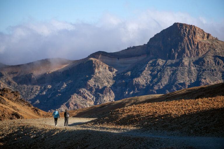
At least one afternoon a week, we’d lace up our boots and set off confidently on a new adventure. When the starting point is your house door, it’s hard to worry about getting lost — worst case scenario: head back the way you came. For example, we’d climb up the steep Camino Vueltas Blancas, in order to arrive at a path that barely visible under the scrub. But that path develops into a real trail, which in turn leads to an awesome viewpoint over the valley. It’s a viewpoint at least someone else in town knows about, since there a bench is carved into a felled trunk. Although we ended up here half a dozen times, always for sunset, we never saw another soul.

We’d also venture into the beginning of the Anaga National Park, choosing trails that started before the Mirador de Jardina. This large park is absolutely covered in trails — some popular, others less so, but all of them worthwhile. One late afternoon, after an hour of following the faintest trail imaginable, we emerged onto an outlook toward the Teide. Because it was not on one of the named routes, I felt like very few people had seen this, making it all the more special. Having lost track of time, we had to practically run back home, barely outpacing the onset of dusk.
The Joy of Exploration
We have all our self-scouted trails saved on the phone, but have decided not to share them. Some cut through private property, and if you want to pass, you have to ask the owner. Some lead nowhere. At least one is genuinely dangerous. But if you’re curious about an unguided adventure, take a look the trails on an app like Locus, or Open Street Map. And let us know if you manage to reach the top of Pico Hilario!


Pingback: San Cristóbal de La Laguna - For 91 Days - Tenerife Travel Blog